Navigation apps are indispensable for travelers, simplifying journeys and unveiling new destinations. Google Maps excels in this domain, yet it deliberately obscures certain locations. Let’s delve into seven such hidden locations and the reasons behind their concealment.
1. The Enigma of Sandy Island
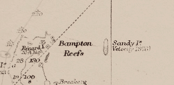
Sandy Island, a phantom landmass near New Caledonia in the South Pacific, has been hidden by Google Maps since 2012. First charted by Captain James Cook in 1774, it appeared on maps as a 14.9-mile-long and 3.1-mile-wide island. By 1876, whaling ships reported its presence, and it featured on 19th-century British and German maps. However, doubts arose as sea charts marked it with “ED” (existence doubtful). The French Hydrographic Service removed it in 1979. In 2012, Australian scientists found no trace of the island, leading Google to remove it from Maps on November 26, 2012. The prevailing theory suggests Captain Cook might have mistaken pumice sea rafts from underwater volcanoes for land.
2. Amchitka Island and America’s Atomic Experiments
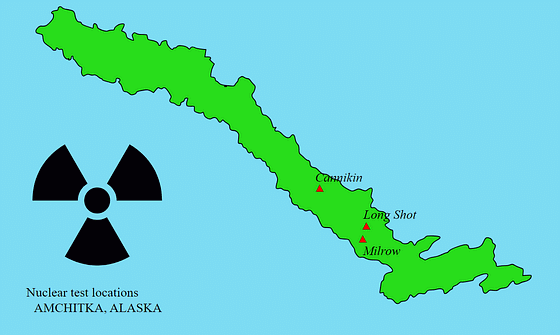
Amchitka Island, part of Alaska’s Aleutian Chain, is partially obscured on Google Maps. In the late 1950s, the U.S. Atomic Energy Commission selected it for underground nuclear tests. Three tests were conducted: Long Shot (80 kilotons) in 1965, Milrow (1 megaton) in 1969, and Cannikin (5 megatons) in 1971—the largest underground nuclear test by the U.S. Today, the island is monitored for radioactive leakage and is slated to become a restricted-access wildlife preserve in 2025.
3. The Infamous Area 51
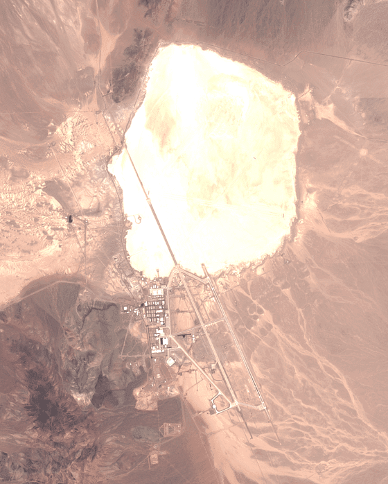
Located 135 kilometers north of Las Vegas in Nevada’s desert, Area 51 is a U.S. Air Force base shrouded in secrecy. Known for testing projects like the Lockheed U-2 spy plane and the F-117 stealth plane, it has fueled numerous extraterrestrial theories. In the 1950s, high-altitude U-2 aircraft tests led many to report UFO sightings, mistaking these secretive planes for alien crafts. Despite some declassification in 2013 confirming its existence and purpose, daily activities at Area 51 remain unknown, and its imagery is hidden on Google Maps. Attempting to use Street View amusingly places the user in a flying saucer, reinforcing its association with UFO lore.
4. HAARP and Its Secrets
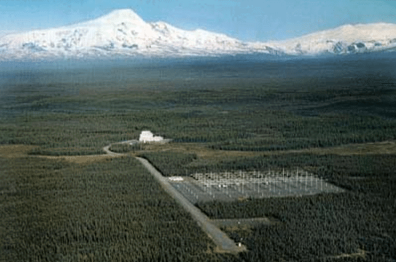
The High-Frequency Active Auroral Research Program (HAARP) in Gakona, Alaska, has been a subject of intrigue. Funded by the U.S. Air Force, Navy, and DARPA, HAARP aims to study and enhance the ionosphere, aiding in radio communications and surveillance. While the facility is somewhat visible on Google Maps, its image is notably over-saturated with white, obscuring almost all details. This has led to conspiracy theories concerning its operations and intentions. The program’s affiliation with advanced military projects and its opaque portrayal on Google Maps continue to fuel public speculation.
5. The Imposing Fortress of Fort Eben-Emael
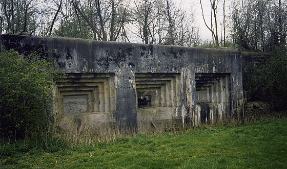
Near the Belgian-Dutch border, between Liège and Maastricht, lies Fort Eben-Emael. Built between 1931 and 1935, it was designed to defend Belgium from potential German attacks and was considered impenetrable. However, on May 10, 1940, during World War II, a small group of 85 German soldiers neutralized the fort in a daring assault using glider planes. This incident demonstrated the effectiveness of airborne forces and shifted military perspectives on fortress defenses.
6. Israel – Strategic Obfuscation
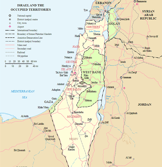
Google Maps applies low-resolution imagery to many locations in Israel due to security regulations. Key areas like military bases or sensitive government facilities are obscured to comply with regional laws. This practice has stirred debates about privacy, transparency, and safety, as these restrictions make Israel one of the most blurred regions on Google Maps.
5. Babylon – The Ancient City of Wonders
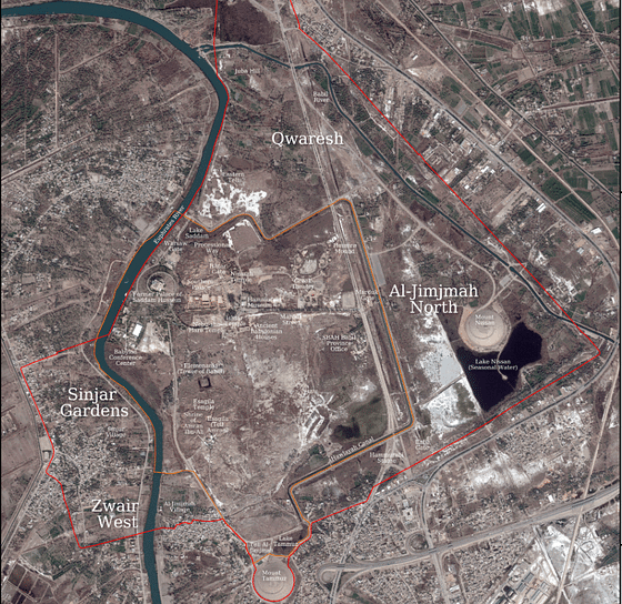
The ruins of Babylon in Iraq hold immense historical significance as one of the most prominent ancient cities. While the site is a UNESCO World Heritage location, parts of it appear blurred or pixelated on Google Maps. This could be due to security concerns or a protective measure to preserve its archaeological integrity. The limited view sparks curiosity about the treasures hidden within this legendary city.
These hidden locations highlight the balance between public information and privacy, showcasing the complexities of modern mapping technologies.
